Geo-Informatics Supported Disaster Risk Reduction and Smarter Urban Management
(November 1-4,2022,Beijing,China)
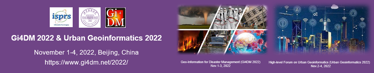
Two conferences, One event
The event is organized by ISPRS Technical Commission III and IV. It is comsisted by 2 sub-events. One is the ISPRS Workshop on Geo-Information for Disaster Management (Gi4DM 2022). The other is the ISPRS High-level Forum on Urban Geoinformatics (Urban Geo-informatics 2022). The aims of the events are to provide an inter-disciplinary platform for scientists, researchers and practitioners in the field, to present the latest developments and applications, discuss cutting-edge technologies, exchange research ideas, and promote international collaboration.
Geo-Information for Disaster Management (Gi4DM 2022)
The event is an annual conference devoted to the application of geo-informatics in disaster risk reduction since 2005, organized by ISPRS in cooperation with different international bodies such as UNOOSA, ICA, ISCRAM FIG, IAG OGC, and WFP. The fundamental goal of the conference is to provide a forum where disaster managers, stakeholders, researchers, data providers and system developers can discuss challenges, share experience, discuss new ideas, demonstrate technology and analyze future research toward better support of risk and disast-er management activities. For the period 2016-2022, Gi4DM is coordinated by the ISPRS Inter-Commission Working Group III/IVa on Disaster Assessment, Monitoring and Management. And since 2020 Gi4DM is jointly coordinated by the International Science Council (ISC) Geo-Unions Standing Committee on Disaster Risk Reduction.
Disaster risk reduction is the common responsibility of all professionals. The COVID-19 epide-mic ravaging the world recent years triggered huge demands for geo-information related strategy/methods/techniques.
With the background, the topics of the event will include (not limited to):
- User needs and requirements
- Technology developments
- Applications of Remote Sensing and Photogrammetry to Disaster Monitoring or Management
- Data collection and management
- Data integration and knowledge discovery
- End-user environments for interaction, visualization and updating
- Positioning and location-based communication
- Assisted navigation and evacuation
- Automated mapping
- Geo-information education for disaster management
- Development and sharing of geospatial analytics
- …
High-level Forum on Urban Geoinformatics (Urban Geo-informatics 2022)
With dense population, active economy and developed infrastructures, cities are very impor-tant for sustainable development of the countries, regions and the whole world. It is essential to better understand, plan, monitor and manage the development of cities, with the support of geoinformation technologies. High-level forum on urban geoinformatics 2022 is the first of a series of conferences that focus on RS, GIS and other related topics in urban context. The venue will be rotating among Beijing, Sydney and Toronto, every 1 or 2 years.
The topics of the 2022 event will include (not limited to):
- Digital Twins
- Digital Engineering
- 3D City Modeling
- Urban Multi-planning Data Fusion
- Ubiquitous Monitoring and Dynamic Cognition of Urban Development
- Integration of Internet of Things (IoT)
- Urban Social Networks
- Mobility and Transportation
- Knowledge Engineering
- Decision-making Support and Service Platform
- Disaster Management
- Smart Visualization
- Megacities
- …
Organized by
- International Society for Photogrammetry and Remote Sensing (ISPRS)
Hosted by
- Beijing University of Civil Engineering and Architecture (BUCEA)
Supported by
- Chinese Society for Geodesy Photogrammetry and Cartography (CSGPC)
- China Association for Geospatial Industry and Sciences (CAGIS)
- GNSS & LBS Association of China (GLAC)
- China Centre for International Science and Technology Exchange (CISTE)
- Beijing International Science and Technology Exchange Center (BISTEC)
- International Science Council (ISC) GeoUnions Standing Committee on Disaster Risk Reduction
- United Nations Committee of Experts on Global Geospatial Information Management (UN-GGIM) Academic Network
- National Earth Observation Data Center (NODA)
- Key Laboratory of Urban Spatial Information, Ministry of Natural Resources
- China Urban Infrastructure Chamber of Commerce New Infrastructure Branch
- Zhongguancun Geospatial Information & Technology Alliance
Sponsored by
- PIESAT Information Technology Co., Ltd.


